Road of the Month: Mt. Hamilton Rd.
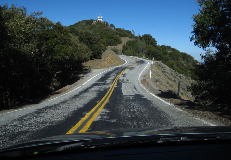
This month, we head back up to NorCal for a quickie up to the peak of Silicon Valley – Mt. Hamilton. This is one of my favorite routes for many reasons. One, enthusiasts have used these roads responsibly and kept the shiny side up, so there’s not a ton of patrols. Second, the road is similar to Lockwood Valley Rd in that it goes to nowhere, so there’s very little traffic on weekdays. Best of all, it is a shorter route with low speeds, meaning that lots of fun can be had for a long time, while keeping the gas bill low.
Unlike a few of our other Roads of the Month, this route is largely free of warnings and caveats. I don’t often see large animals near this route. It’s never washed out to my knowledge. It will snow once in a while, but authorities close the road to the summit when it does. There are a few drop offs on the side of the road, but good drivers don’t have much to worry about. The variety of turns and scenery is amazing considering how near it is to Silicon Valley.
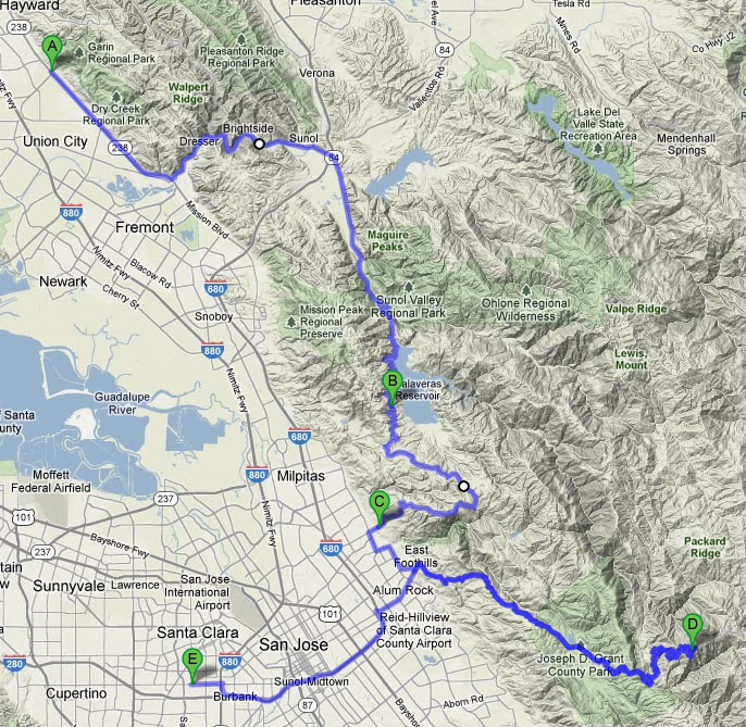
Start out by meeting at Red Chili in Hayward for a quick bite to eat. It’s only a short distance from here to the first road of interest, Niles Canyon Rd. The road connects Sunol to northern Fremont by cutting through a small valley nestled between mountains. While the turns are mild and the terrain is fairly flat, the railroad tracks and river make it a scenic way to start the trip. Niles Canyon will connect with Calaveras Rd on the other side of 680, and will narrow down to slightly over one lane. Drivers are treated to views of little-known Calaveras Reservoir, which feeds water to the City of San Francisco. Be advised that staring at scenery may be hazardous to human health – this portion does contain some wildlife, and lots of blind turns with oncoming vehicles.
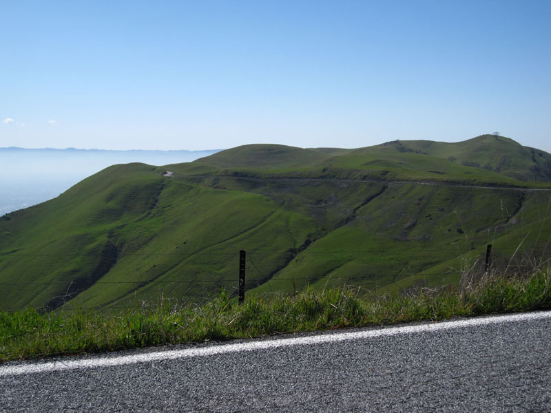
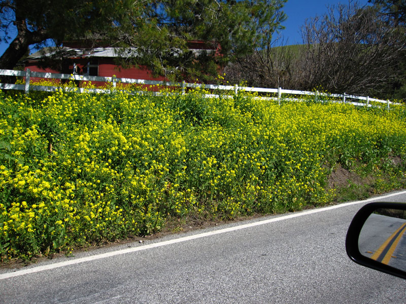
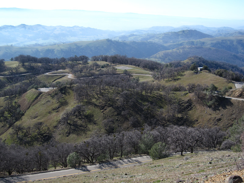
Take a left at Felter Rd (which becomes Sierra Rd) and the tarmac will bring you into some rolling hills with views of the South Bay (smog/weather permitting). The scenery is best on a sunny spring day after a mild rain, when wildflowers and greenery are all over. You’ll have to drop back into some suburban sprawl, but not for long – just ahead, Mt. Hamilton Rd awaits.
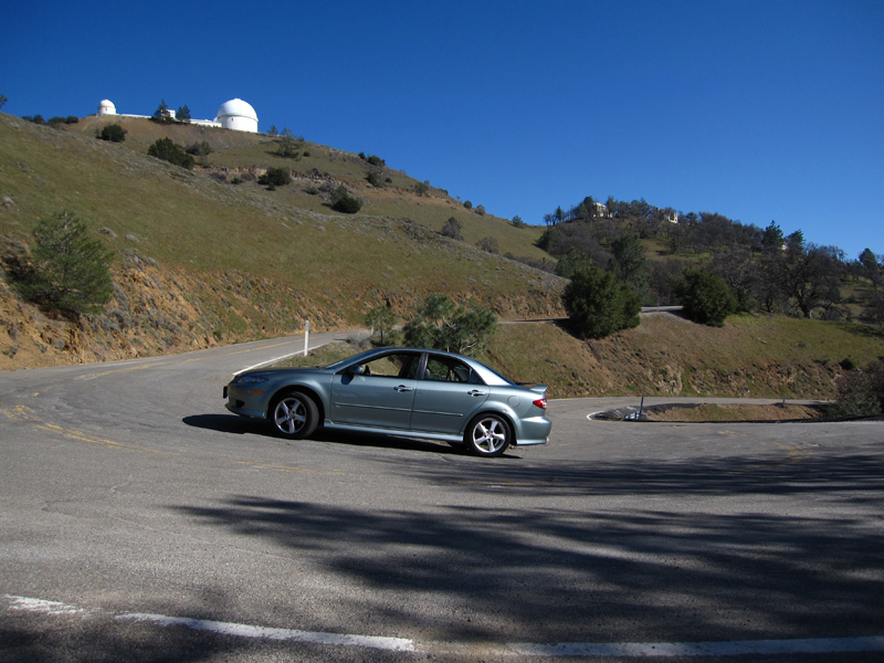
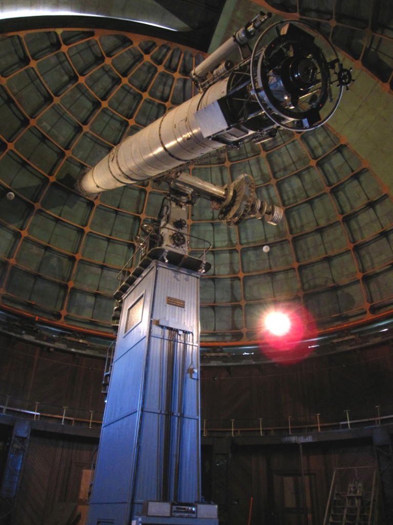
Mt. Hamilton Rd will bring you to the summit via a long and convoluted route full of turns. The final part of the ascent up to the Lick Observatory is particularly involving – steep hills, decreasing radius off camber corners, full-lock u-turns, and lots of shifting. The route shown stops at Lick Observatory before turning around. It’s a good place to give your mode of transportation a break before continuing back down the mountain. Take a tour of their giant telescopes for free, or just take in the view. Either way, the choice is yours now – continuing in the same direction on this road will lead you further into awesome road territory. However, you eventually have to turn around, unless you plan to spend the next 3-4 hours sawing the steering wheel, and ending up in the Central Valley.
Accounting for another 1-1.5 hours to get back down the mountain, it will almost be time for dinner. If it’s still too early, you may want to wander over to The Tech Museum in San Jose. If you’re feeling hungry after that workout, though, A Slice of New York is always awaiting you at the endpoint on the map!


